
City Wayfinding maps help create a culture of walking and cycling in the city. The Cost-Benefit Ratio will be greatly improved with a comprehensive system.
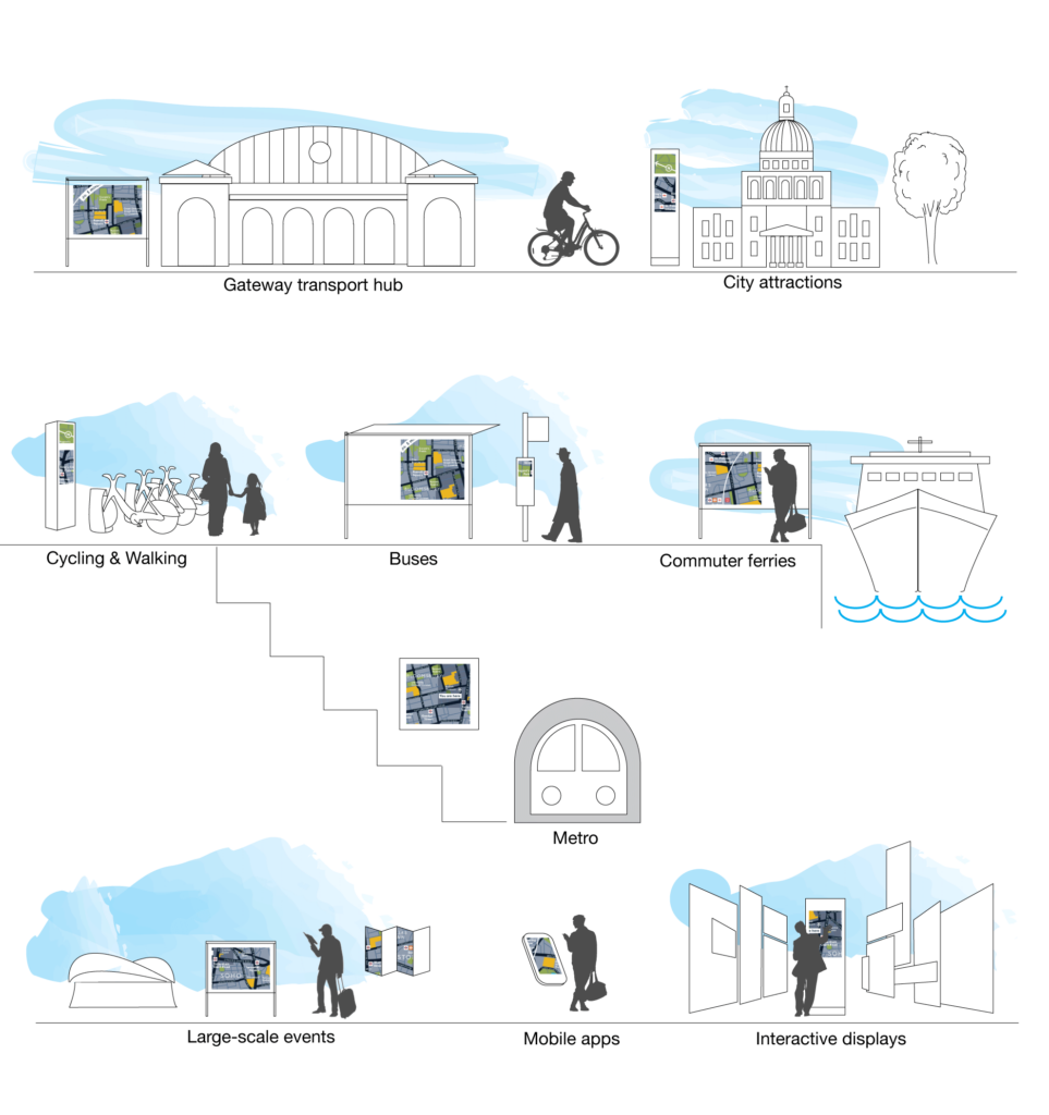
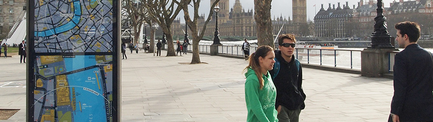
In order to encourage walking, a city wayfinding basemap shows details such as pleasant walking environments, which entice people to explore an area on foot. A mental map is developed using key landmarks in the surrounding area, giving a sense of orientation. Careful placement of signs ensures that walkers feel confident to explore in the knowledge that they won’t get lost.
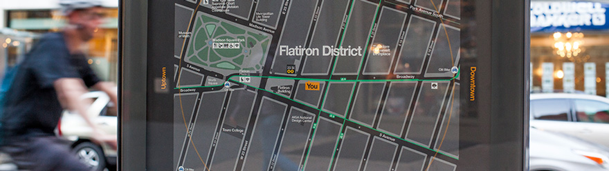
The same carefully designed basemap is then used to simplify travel options by adding public transport data layers to the map, adapting the sign to each mode of transport and presenting the information in the place where it is needed most.
The addition of cycle infrastructure such as safe cycleways, bikeshare and bike parking makes the case for cycling and links it to other journeys in a connected city.
Wayfinding maps help stimulate the local economy by highlighting tourist attractions, shopping, food and entertainment in a legible way. This information encourages visitors to stay longer, to move around more and hopefully to return.
Bespoke maps can be created for temporary events, such as sport or entertainment, and used to control the safe movement of large crowds of people. Temporary information also serves to help travel disruptions or emergencies such as the COVID-19 pandemic.
This varied use of consistent mapping requires a robust system with a seamless basemap at its core.
A city wayfinding system becomes the city’s own reliable brand of information, and a way of communicating with its citizens and visitors.
In order to build a reputation for accurate, updated information, a seamless basemap of the whole city must be developed and stored as a ‘Master’ from which all other maps are created throughout the lifetime of the system. Routines must be put in place for gathering feedback from local experts and tracking updates as they are made to the basemap.
Specific layers should be created for different use cases (cyclist, tourist, commuter), each with its own update frequency and validation checks.
Design guidelines are set up for the system as a whole, then for each information type to ensure consistency and to help users to learn how to understand the information.
A sign location strategy establishes where different information types are needed most and to achieve consistency across the system. Users thereby quickly learn where to expect maps to be found.
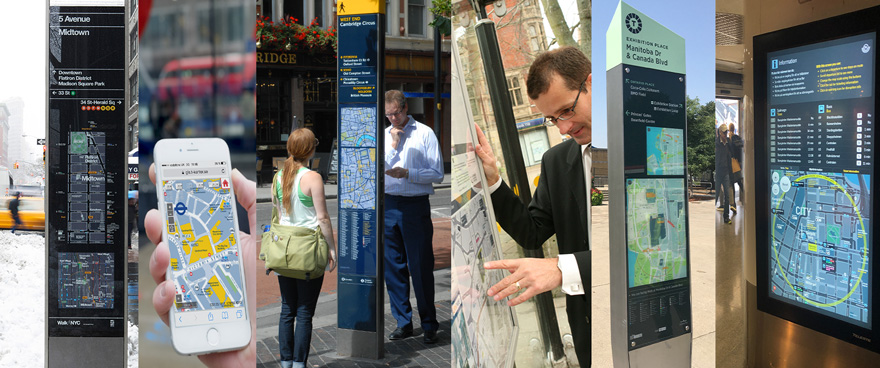
Information channels to meet a range of needs
Pedestrian wayfinding
Cycle wayfinding
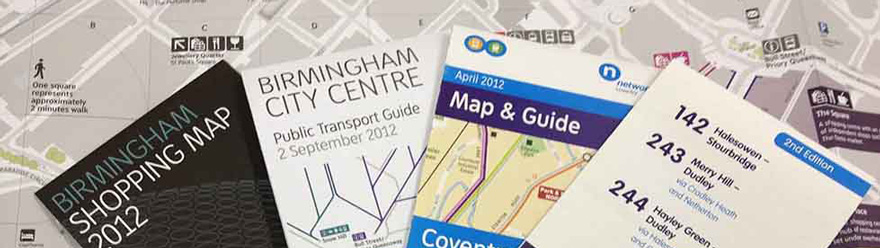
Printed maps and guides

Events wayfinding
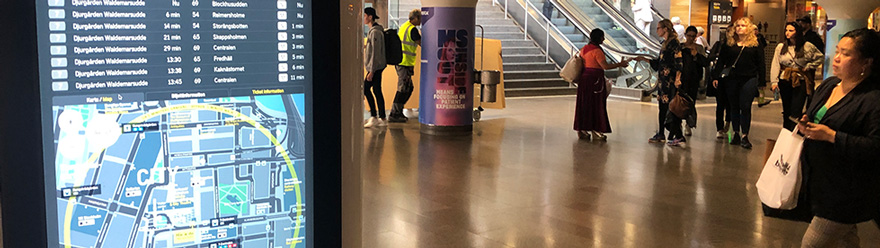
Digital passenger information
Finally, a comprehensive range of information assets have been created across the city, serving pedestrians, cyclists and passengers of public transport. The wayfinding system must now manage these assets, tracking their position, content, installation and latest updates. The system must link assets to the Master basemap so that public facing signs can be updated to reflect changes as soon as possible. This will ensure that features on the map at a bus stop will not contradict another version of the same map at a nearby bike share docking station.
A robust city wayfinding system will provide locals and visitors with an unprecedented amount of knowledge about their surroundings. Information simplifying travel options will be placed just where it is needed most. Maps of the local area will encourage people to walk or cycle.
As the well maintained system evolves it will increase in value, and as more wayfinding signs are introduced, more people will begin to rely on them. The maps will provide updated information based on people’s needs at that moment, which will give momentum to the creation of a new culture of walking, cycling and public transport.