
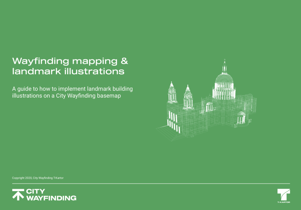
 The purpose of this guide is to help city authorities which are considering how to design and implement a world-class City Wayfinding scheme. It presents some of the choices to be made when considering how to represent landmark buildings and draws on examples from T-Kartor’s best known projects, including London, New York and Toronto.
Fill in the details below to download the guide as a pdf.
The purpose of this guide is to help city authorities which are considering how to design and implement a world-class City Wayfinding scheme. It presents some of the choices to be made when considering how to represent landmark buildings and draws on examples from T-Kartor’s best known projects, including London, New York and Toronto.
Fill in the details below to download the guide as a pdf.