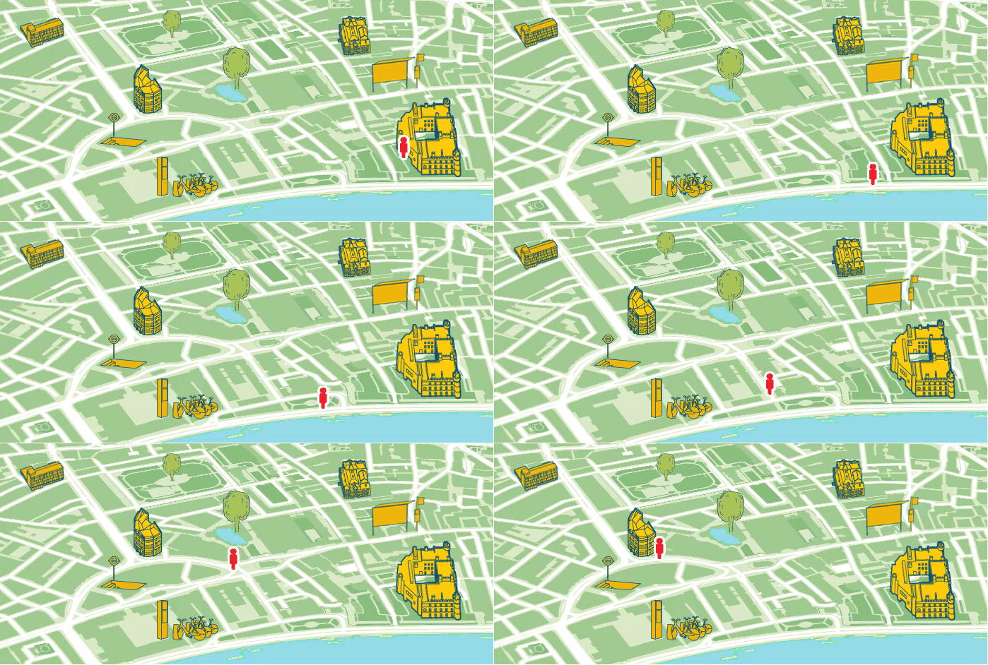
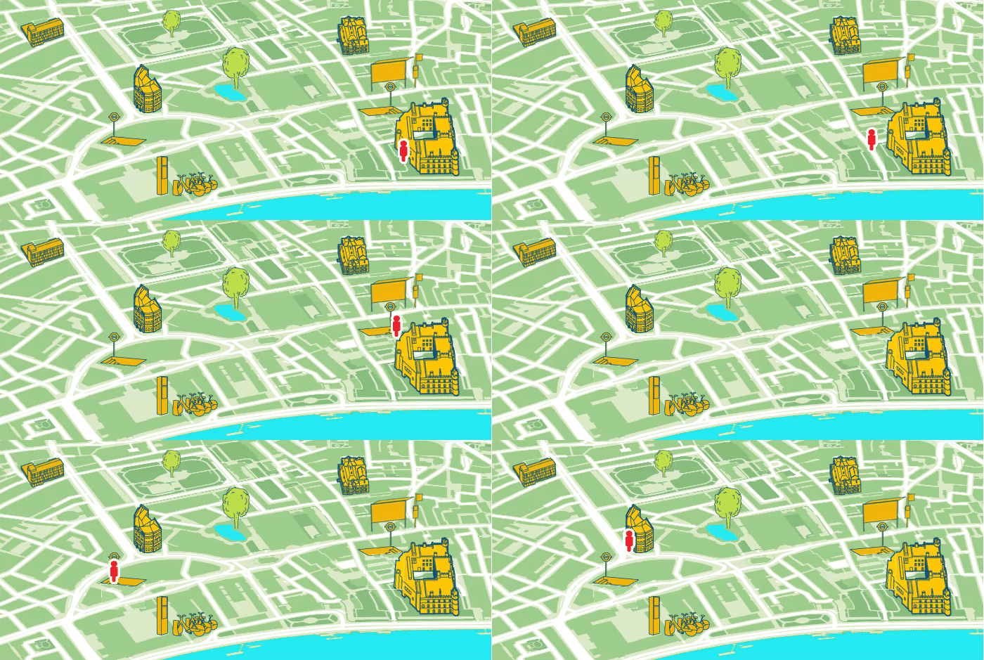
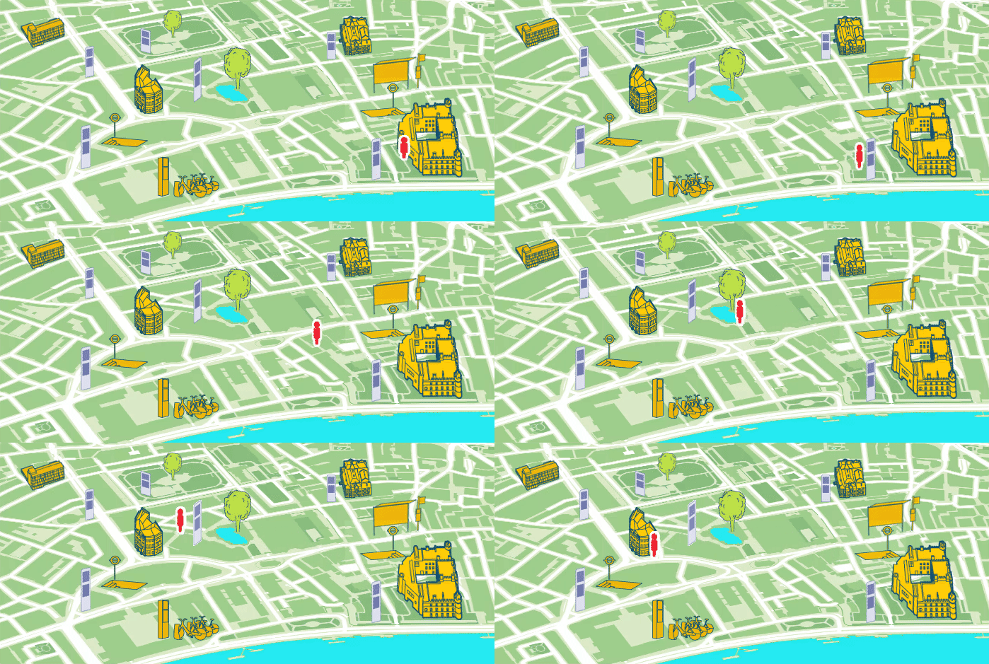
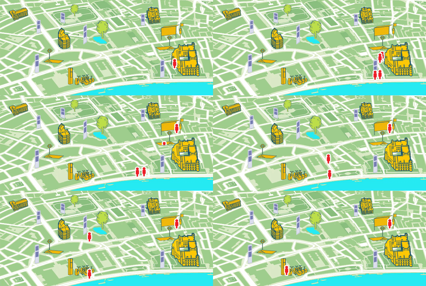
This week I played with animation tools to show some of the benefits of a good city wayfinding system.

The first animation shows a pedestrian taking the most direct route from the station to his destination, following the busiest roads as he doesn’t know the area well enough to find quieter alternatives. This route is noisy and suffers from car fumes. Not a pleasant route to walk.

The second animation shows what can happen without adequate wayfinding information. Our pedestrian has no way of knowing that her journey is perfectly walkable and she takes a tube ride which is easy for her to follow on a simple network map. The journey time by tube is, in this case, no quicker than walking, but without the many benefits.

Guided by a prominent wayfinding system, a pleasant walk is chosen which takes the pedestrian away from the traffic. The new route takes in attractive green areas and footpaths, detailed on the maps. Knowledge about this pleasant alternative encourages more people to walk.

The final animation shows a crowd of people exiting a mainline station. These decision points can get choked up, and it is desirable to disperse people as quickly as possible. Using city wayfinding displayed at the optimal position, these crowds are able to quickly find the next stage of their journey, which may be on foot, by bike or another form of public transport.