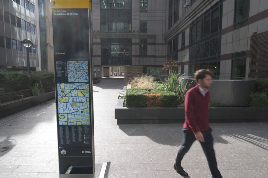
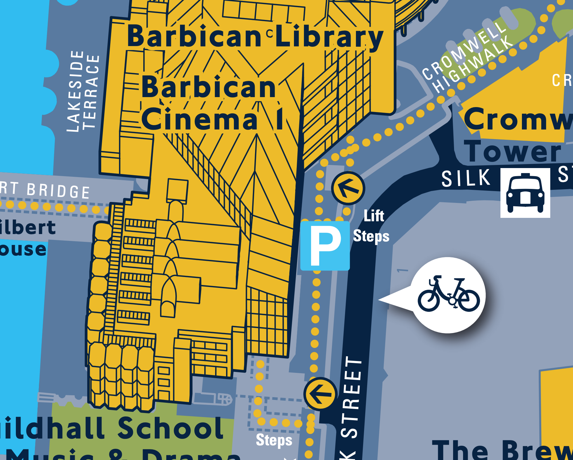
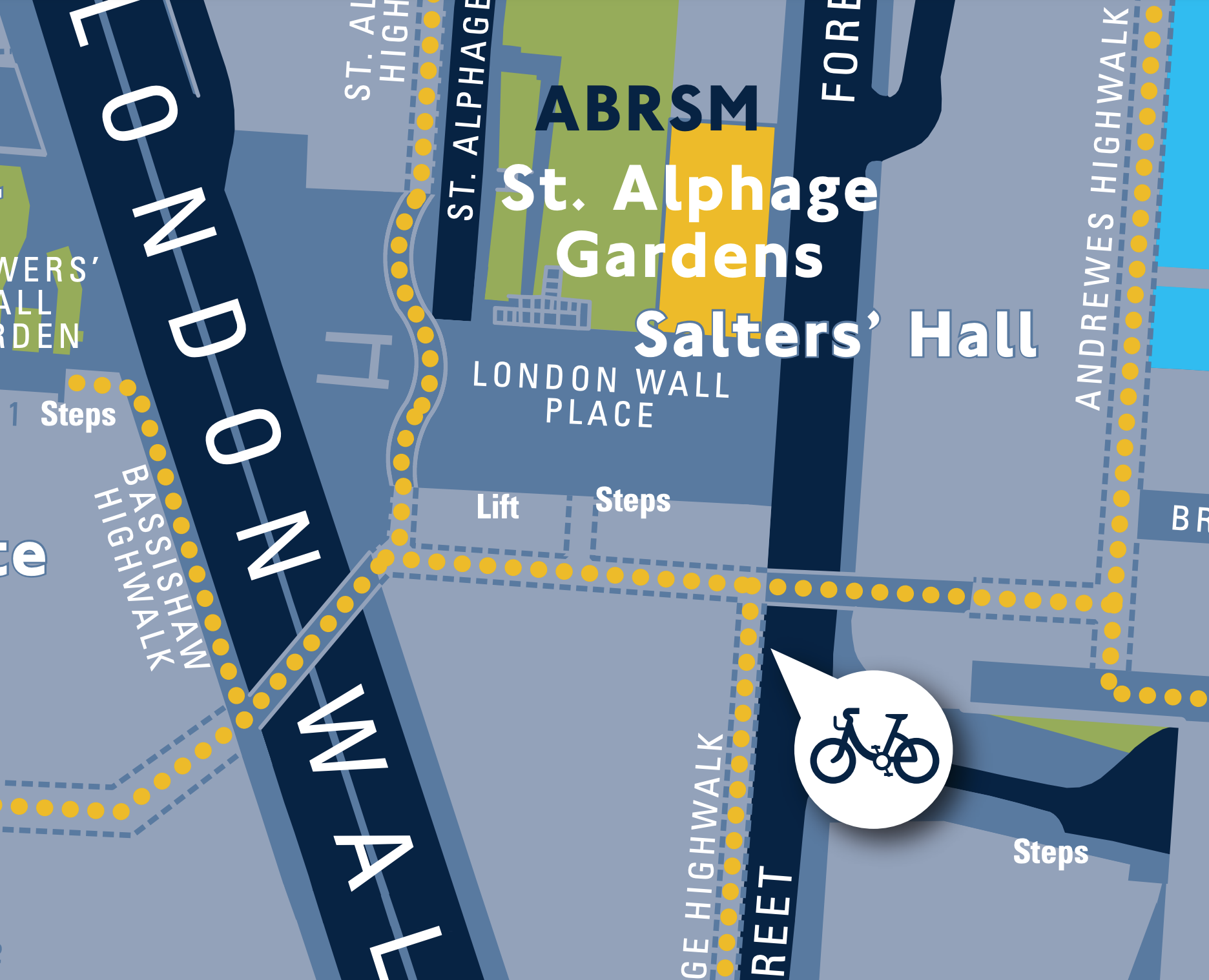
Barbican used to be a nightmare to navigate. As a series of ‘highwalks’ and secluded pathways raised high above the noise and pollution of some of London’s busiest streets, the area suffered from being underused by pedestrians.
George Wright, Project Manager of Transportation & Public Realm at City of London Corporation, held the theory that this was because people couldn’t easily see that the paths joined each other to form a useful network. It is, in fact, possible to walk on the highwalks between Moorgate and Barbican tube stations, a distance of 750m.
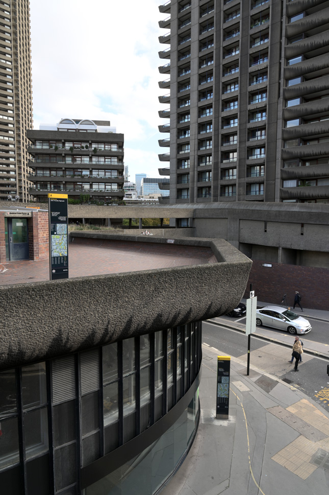
George Wright’s theory, that making the network legible and easy to overview would lead more people to explore the area, is paying off. 60 signs now adourn the Barbican area, carefully positioned to make people better understand their surroundings. According to George the City have received lots of positive feedback about the new wayfinding signs.
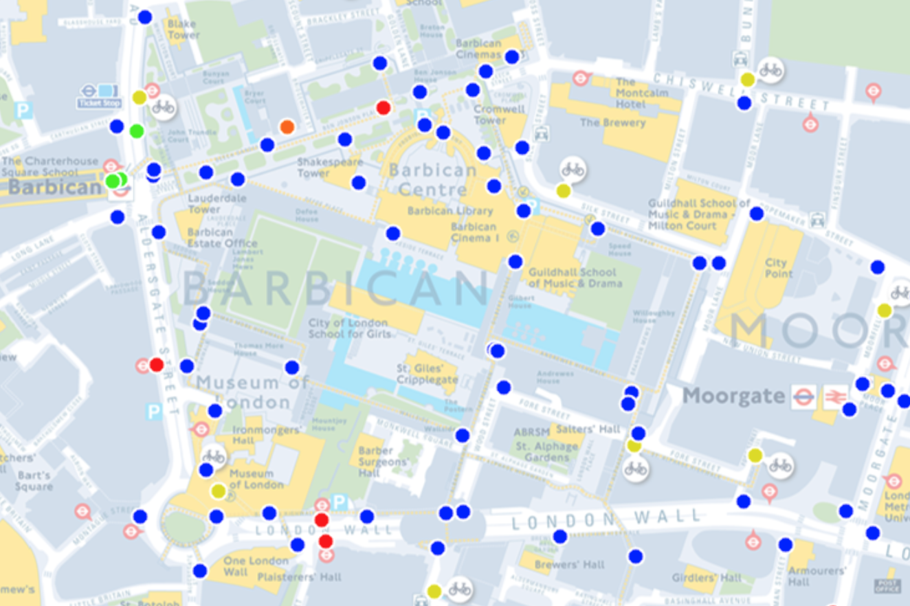
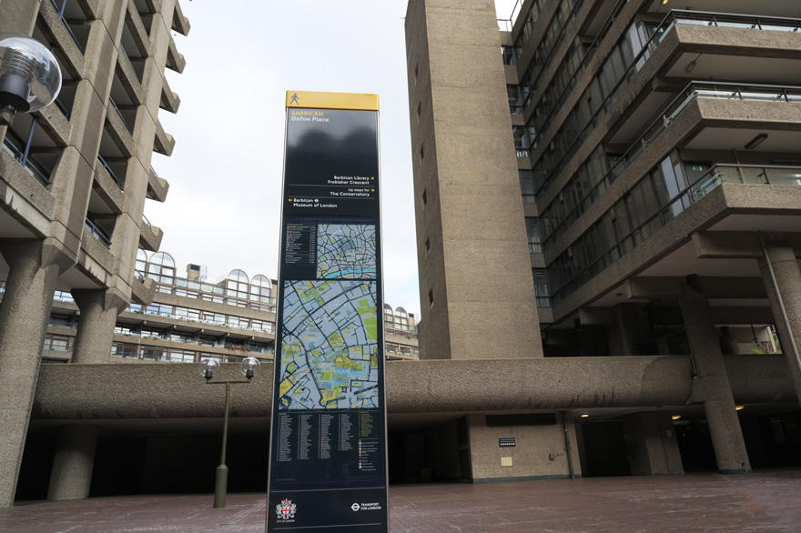
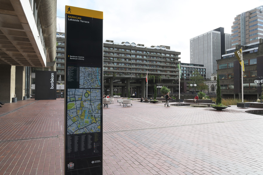
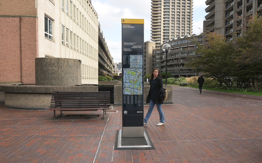
This successful installation is an example of how Legible London wayfinding opens up suitable walking environments to visitors while connecting the public transport network with walking and cycling.