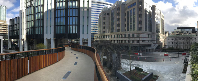
High above the streets of London lies a hidden gem. A network of pedestrian footpaths separated from traffic by being up in the air. The problem is getting people to find them and use them.
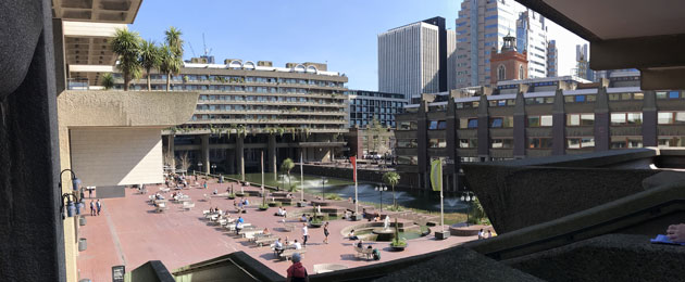
After the second world war most of the City of London lay in ruins. Besides St Paul’s Cathedral (left standing by the Luftwaffe for navigation purposes) every street from Moorgate to Aldersgate Street, an area of 35 acres, was reduced to rubble. A series of town planning experiments since the war has created a curious area where hyper-modern architecture can be seen alongside brutalist 70s concrete structures and ancient roman ruins.
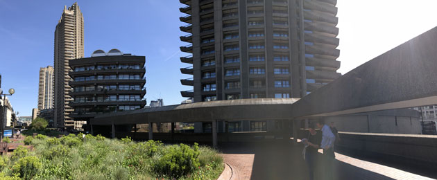
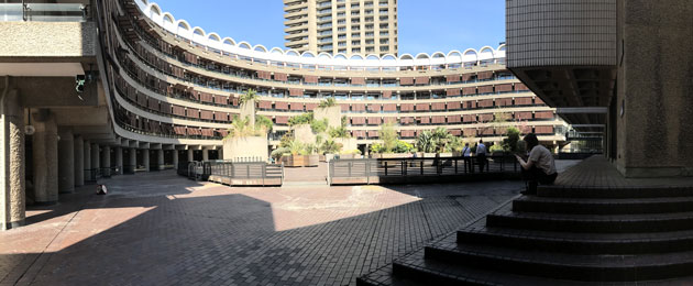
The visionary town planners of the 1950s (the pedway network was designed in 1947, Barbican in 1959) envisaged a city where people moved around high up in the air, separated from the traffic. Footpaths were built on stilts, around and through high-rise apartment buildings. As neighbourhoods were developed, pulled down and re-developed in the years that followed however, the raised footpaths became disjointed and forgotten. People were loath to climb steps they weren’t sure would lead to their destination.
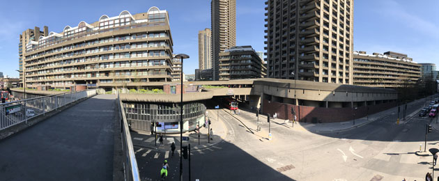
Recently the high walks have been revitalised, giving pedestrians the ability to avoid one of the most polluted sections of road in the country. From up here the views are magnificent and you get the chance to look down over classic architecture from different eras juxtaposed against one another.
The Legible London wayfinding scheme is being used to help lift the profile of this area of cultural heritage. A sign placement strategy has been recently carried out, and the basemap is undergoing design tests with the aim of showing the walking network as a single entity and a worthy tourist destination.
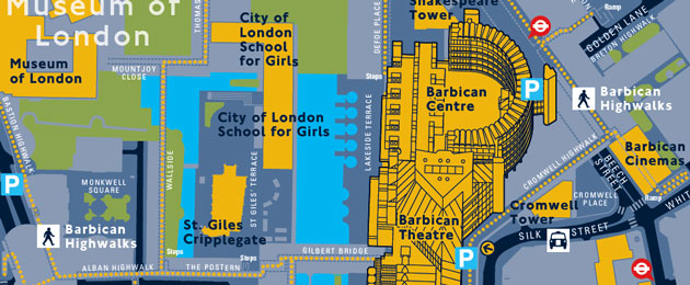
Legible London signs will be placed at optimal positions around the Barbican High Walks network. The large scale, detailed maps clearly define a direct, more pleasant route across the area, with green areas, water and interesting details along the way. Regularly placed signs will reassure pedestrians that they will find their way without getting lost in the newly joined-up labyrinth of paths.
Read more about the essentials of City Wayfinding here.